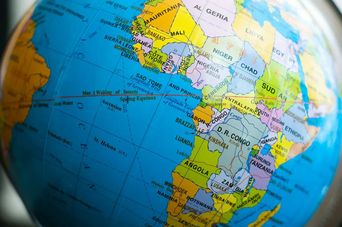
The US State Department apologized after a presentation at the AIDS 2026 conference in Rio de Janeiro, Brazil, displayed a map that misplaced and distorted African countries. Video reviewed by Reuters showed the map during a presentation about new US health agreements with African countries.
The error diverted attention from a session involving African delegations and US health officials. The department later said a team member had changed the slides shortly before the presentation.
Nigeria and Mozambique appeared far from their actual locations
The map placed Nigeria, a coastal West African country, inland in the Sahara. It moved Mozambique from the southeastern coast to the Horn of Africa and placed Ivory Coast on the other side of the continent.
Global News reported that the map also redrew the borders of Uganda and Malawi and mismatched country colors with their labels. The errors went beyond misspelled names: labels, positions, colors and borders did not correspond to the geography they purported to show.

Department blames a last-minute change
The US State Department accepted responsibility and said a team member had added the incorrect map in a last-minute change to the presentation. It apologized for the confusion and misrepresentation, particularly to the African delegates in the room.
The department did not identify the person involved or describe how the slide passed review. APPI News could not find the original deck in a public US government archive, so the sequence of edits cannot be checked independently from the material currently available.
Watermark points to likely use of an OpenAI tool
Reuters analyzed the presentation image and found a watermark associated with OpenAI image tools. The news agency reported that the watermark indicated the map was likely created with OpenAI tools and that OpenAI was investigating.
That attribution remains qualified. The watermark supports Reuters' assessment, but the reports available at the time did not include a public confirmation from OpenAI identifying the tool, prompt or account used to create the map.
The mistake occurred during a health partnership presentation
The slide appeared while Jeff Graham, the US official overseeing the President's Emergency Plan for AIDS Relief (PEPFAR), was discussing health agreements with African countries. The US program funds HIV prevention, treatment and related health services in partner countries.
Images were first publicized by AIDS policy advocate Emily Bass, after which Reuters reviewed video of the presentation and published screenshots. Analyst Matt Petit told Africanews that the mistake showed a failure to verify basic geographic facts before the presentation; his comment was an assessment, not the result of an official investigation.