Rescue teams recovered four more bodies on August 16 after a magnitude 7.7 earthquake struck Indonesia's Flores region a day earlier, bringing the confirmed death toll to at least 51. Crews continued searching debris and landslides across six regencies while thousands of displaced residents remained in temporary shelters.
The US Geological Survey reported that the earthquake struck at 21:58 UTC on August 14, or 5:58 a.m. on August 15 in Flores, at a depth of 10 kilometers. The agency placed the epicenter 68 kilometers north-northwest of Ende in Indonesia's East Nusa Tenggara province.
Searches continued as the toll rose
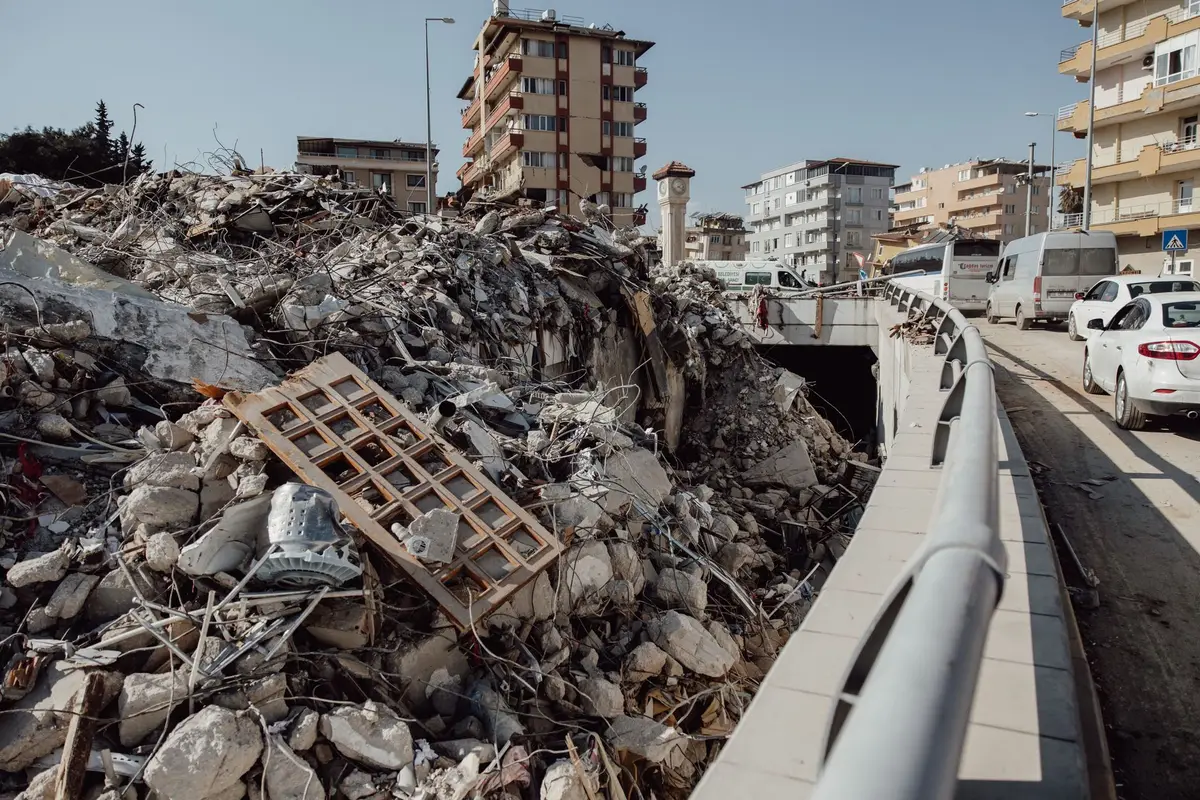
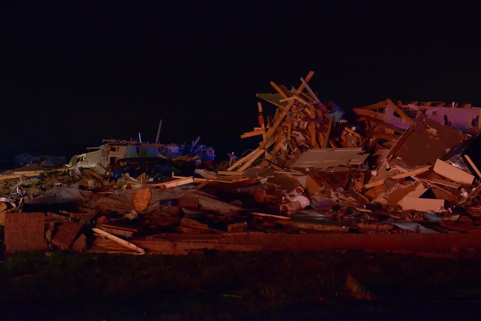
Indonesia's National Search and Rescue Agency, the government body that coordinates search operations, reported 101 injured people, more than 900 homes destroyed and another 450 damaged. About 5,000 people had moved into temporary shelters by August 16, up from the roughly 2,000 reported in the first assessment.
Rescuers concentrated on Manggarai, East Manggarai and Nagekeo, three hard-hit regencies that had been difficult to reach. Landslides blocked parts of the 700-kilometer Trans-Flores Highway, while power and communications outages slowed searches and aid deliveries. Officials said most landslides had been cleared by August 16, but some disruptions remained.
A shallow source can increase surface shaking
US Geological Survey guidance says shaking at the surface weakens as distance from the earthquake source increases. With other conditions held constant, a rupture 10 kilometers below the surface can produce stronger motion directly above it than the same rupture hundreds of kilometers deep.
Depth is an estimate derived from seismic data, not a direct measurement. The US Geological Survey says earthquake depth is generally harder to determine than the epicenter and that 10 kilometers may be used as a fixed depth when available data cannot support a reliable calculation. APPI News could not retrieve the event-specific USGS record through the agency's text interface, so this report attributes the 10-kilometer figure to the agency through the Associated Press.
Shallow depth does not determine a death toll by itself. US Geological Survey material says ground motion varies with magnitude, distance, frequency, duration and the underlying soil and rock, while buildings are damaged when they cannot withstand the vibration. The available reports did not provide a location-by-location assessment of construction quality or ground conditions on Flores.
The distinction also limits comparisons between earthquakes. APPI News' report on Colombia's intermediate-depth earthquake found that building exposure and local conditions still produced heavy losses, even though the source was much deeper than the Flores event.
The warning ended after small tsunamis were observed
Indonesia's Meteorology, Climatology and Geophysics Agency (BMKG), the national service responsible for earthquake monitoring and tsunami warnings, issued an alert for parts of four provinces and directed coastal residents to higher ground. Authorities later lifted the warning after monitoring found no sea-level changes that still posed a broad coastal threat, but small tsunamis had reached several locations.
BMKG monitoring cited by the Associated Press recorded a 1.61-meter tsunami at Riung, a 0.94-meter wave at Maurole and waves above 0.5 meters at Bulukumba and Sape. The same report put the aftershock count at least 235 and the largest aftershock at magnitude 6.2.
The lifted warning described the agency's assessment at that point, not an end to aftershocks or every local hazard. Conditions can differ among coastal communities, roads and transport links as assessments continue.
Travel checks depend on the complete route
The earthquake affected parts of Flores, including Labuan Bajo, a gateway to Komodo National Park. A functioning flight does not establish that airport access, accommodation or onward transport is available, particularly where landslides and power outages have disrupted local services.
Travelers with plans in the affected region need current notices from Indonesia's authorities and direct confirmation from each transport and accommodation provider. APPI News' disaster travel checklist sets out separate checks for official warnings, every route segment, accommodation, booking terms and insurance wording.
Sources and further reading
- Rescuers in Indonesia search for possible survivors after quake kills 51(Associated Press)
- Magnitude 7.7 quake strikes off Indonesia's coast, killing at least 47(Associated Press)
- At what depth do earthquakes occur? What is the significance of the depth?(US Geological Survey)
- What are the Effects of Earthquakes?(US Geological Survey)